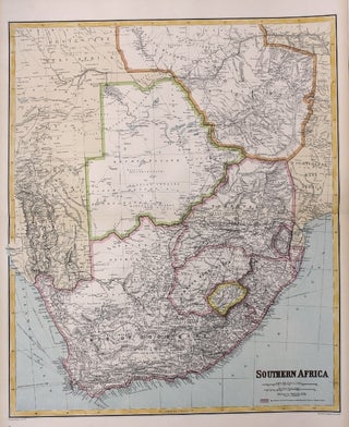
Philips’ Library Map of British South Africa
London: George Philip & Son (London Geographical Institute), c.1895. Notes: A very good example. Map in colour, backed in linen. With insets showing Cape Town, Plan of Pretoria, Rhodesia, among others. Map is folded down between red cloth boards. Upper bordered in black, title lettered in black on upper and.....