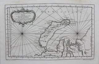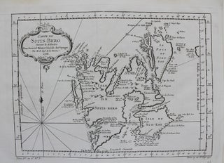
Carte du Spits-Berg
Paris: c.1758. Notes: A map of Spitsbergen (Svalbard), Franz Josef Land and Jan Mayan during the mid 18th century. Jacques Nicolas Bellin (1703 – 1772) was a French hydrographer, geographer, and member of the French intellectual group called the philosophes., Size : 217x301 (mm), 8.54x11.85 (Inches), Coloring: Black & White.....