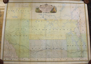
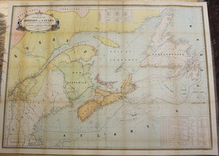
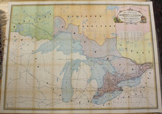
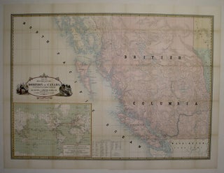
Map of the Worlds Submarine Cables and Principal Telegraph Lines
Montreal: Dominion of Canada Department of Public Works, c. 1883. Notes: A scarce large scale wall map of the world depicting submarine cables and telegraph lines from nation to nation. Shown via double hemisphere polar projection. , Size : 696x1045 (mm), 27.40x41.14 (Inches), Coloring: Hand Colored, Category: Maps World; Maps.....