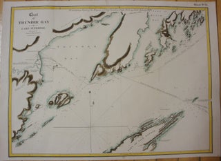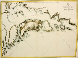
Chart of Nepigon Bay; Lake Superior
Montreal: The Desbarats, c. 1874. Notes: This map depicts the sea chart of Nepigon Bay and the surrounding islands in Lake Superior. , Size : 435x585 (mm), 17.13x23.03 (Inches), Coloring: Hand Colored in Outline, Category: Maps Sea Chart; Maps Canada Ontario North;. Notes: This map depicts the sea chart of.....