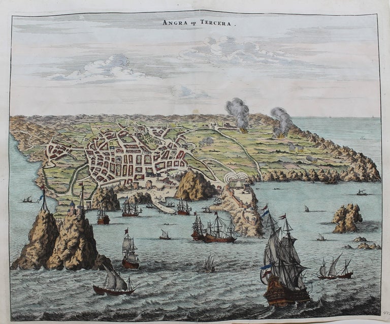
Angra op Tercera
Amsterdam: c. 1671. Notes: A fine map of Angra, Azores, in Portugal, during the mid 17th century.
The map shows roadways buildings, fortifications and geographical features; with numerous ships shown sailing off of the coast in the foreground in great detail.
Arnoldus Montanus (c.1625–1683) was a Dutch teacher and author. He published books on theology, history, and geography of both Holland and far-away countries., Size : 286x345 (mm), 11.26x13.58 (Inches), Coloring: Hand Colored, Category: Maps Europe Portugal. Very Good. Item #M9450
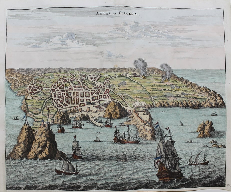
Notes: A fine map of Angra, Azores, in Portugal, during the mid 17th century.
The map shows roadways buildings, fortifications and geographical features; with numerous ships shown sailing off of the coast in the foreground in great detail.
Arnoldus Montanus (c.1625–1683) was a Dutch teacher and author. He published books on theology, history, and geography of both Holland and far-away countries., Size : 286x345 (mm), 11.26x13.58 (Inches), Coloring: Hand Colored, Category: Maps Europe Portugal.
Price: $475.00