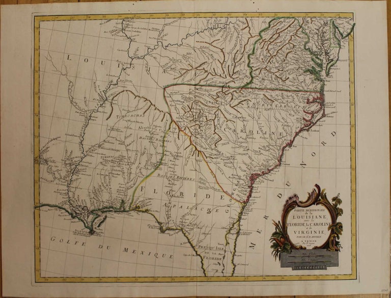
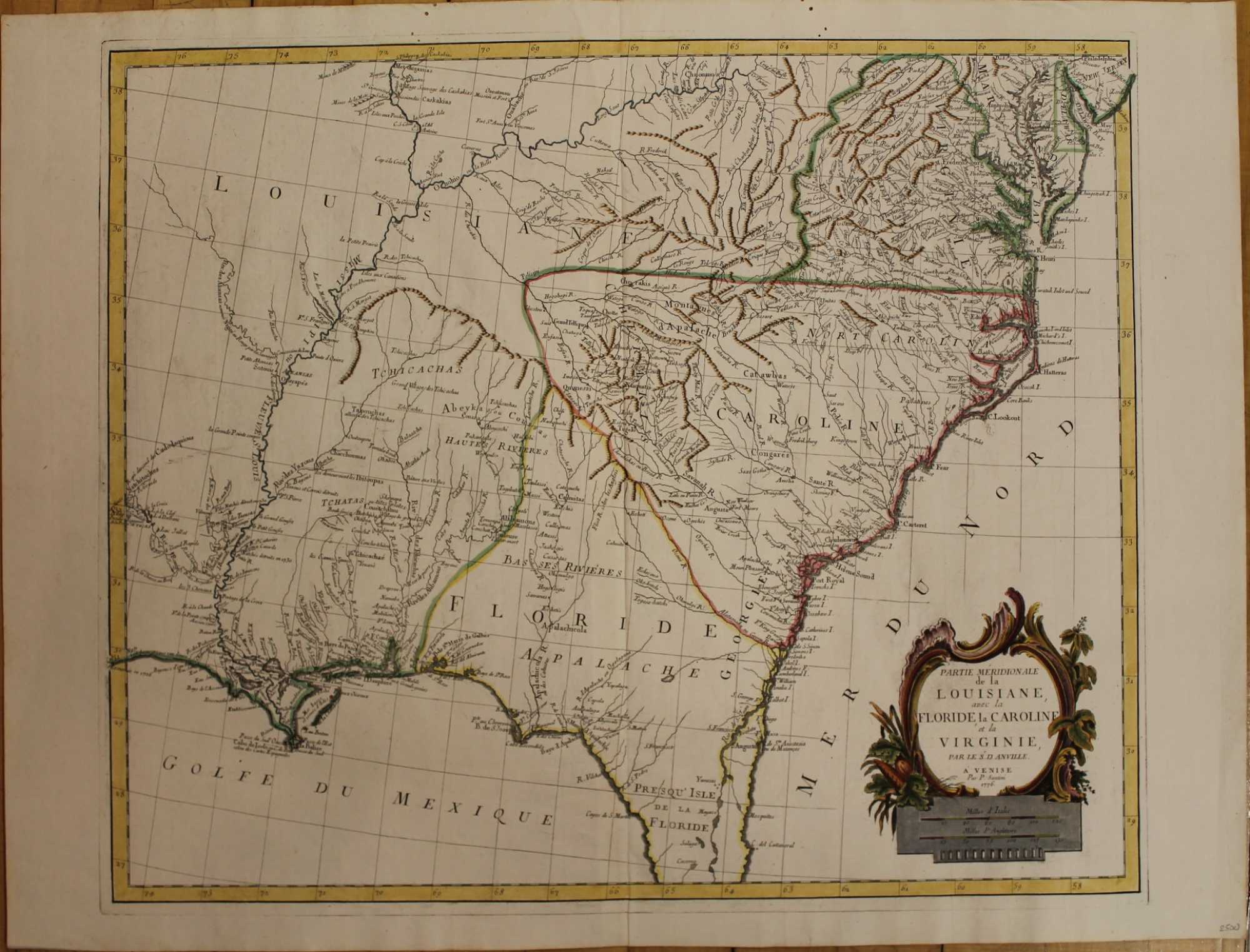
Partie Meridionale de la Louisiane avec la Floride, la Caroline, et la Virginie
Venice: P. Santini, c. 1776. Notes: This decorative map of the south-east focuses on Carolina and Florida, but the area covered is from Delaware Bay to Cape Canaveral. Here "Floride" covers all of Georgia and some parts of Alabama. There is much detail along the Gulf coast as far west as New Orleans.
From "Santini Atlas Universel"
The map shows Indian Tribes, mountains, rivers, towns, forts ....., Size : 490x580 (mm), 19.29x22.83 (Inches), Coloring: Hand Colored in Outline, Reference: Sellers & Van Ee, 1408., Category: ; Maps United States South; Maps United States East. Very Good. Item #M943
Notes: This decorative map of the south-east focuses on Carolina and Florida, but the area covered is from Delaware Bay to Cape Canaveral. Here "Floride" covers all of Georgia and some parts of Alabama. There is much detail along the Gulf coast as far west as New Orleans.
From "Santini Atlas Universel"
The map shows Indian Tribes, mountains, rivers, towns, forts ....., Size : 490x580 (mm), 19.29x22.83 (Inches), Coloring: Hand Colored in Outline, Reference: Sellers & Van Ee, 1408., Category: ; Maps United States South; Maps United States East.
Price: $675.00