
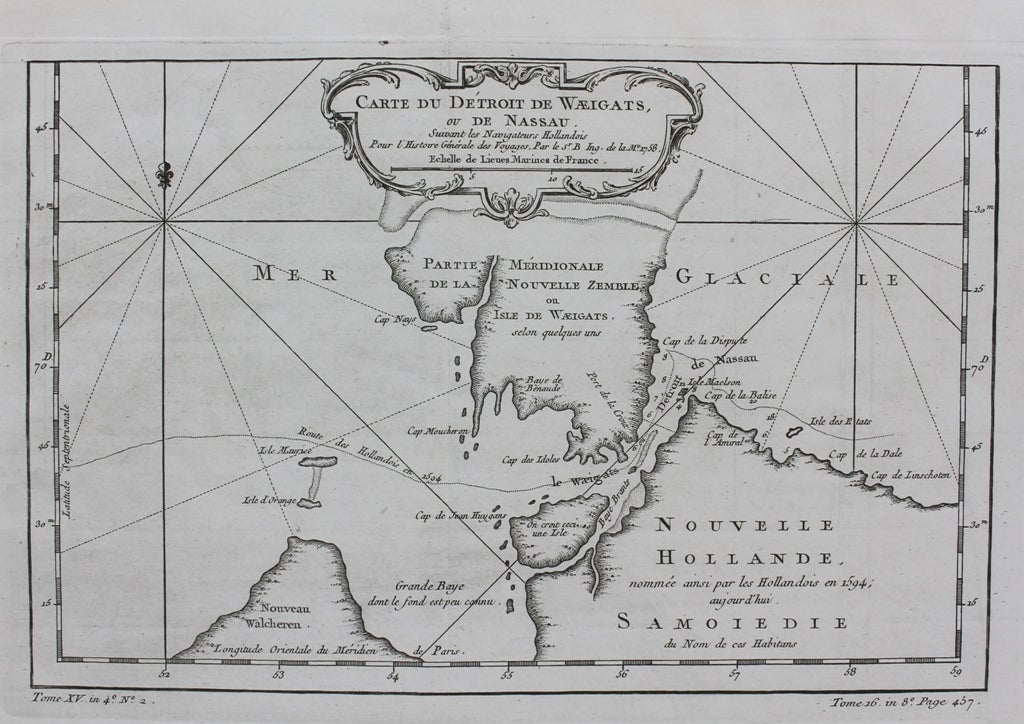
Carte du Detroit de Waeigats ou de Nassau
Paris: c. 1764. Notes: A regional map of the Arctic Sea, in particular the Strait of Waeigats, during the mid 18th century.
Jacques Nicolas Bellin (1703 – 1772) was a French hydrographer, geographer, and member of the French intellectual group called the philosophes.
He was hydrographer of France's hydrographic office, member of the Académie de Marine, and a member of the Royal Society of London. Over a 50-year career, he produced a large number of maps of particular interest to the Ministère de la Marine. His maps of Canada and of French territories in North America (New France, Acadia, Louisiana) are particularly valuable. , Size : 200x305 (mm), 7.87x12.01 (Inches), Coloring: Black & White, Category: Maps Europe Scandinavia; Maps Russia; Maps Polar Arctic Regions;. Very Good. Item #M9335
Notes: A regional map of the Arctic Sea, in particular the Strait of Waeigats, during the mid 18th century.
Jacques Nicolas Bellin (1703 – 1772) was a French hydrographer, geographer, and member of the French intellectual group called the philosophes.
He was hydrographer of France's hydrographic office, member of the Académie de Marine, and a member of the Royal Society of London. Over a 50-year career, he produced a large number of maps of particular interest to the Ministère de la Marine. His maps of Canada and of French territories in North America (New France, Acadia, Louisiana) are particularly valuable. , Size : 200x305 (mm), 7.87x12.01 (Inches), Coloring: Black & White, Category: Maps Europe Scandinavia; Maps Russia; Maps Polar Arctic Regions;.
Price: $75.00