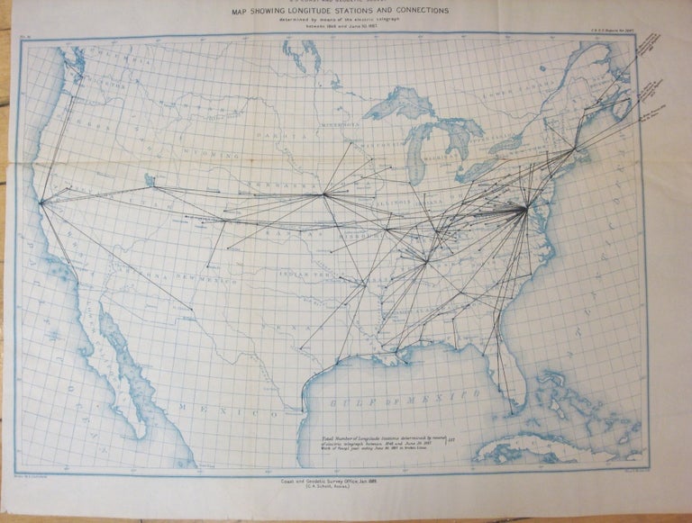
Map Showing Longitude Stations and Connections determined by means of the Electric Telegraph between 1846 and June 30.1887.
USA: US Coast and Geodetic Survey, 1887. Notes: Rare telegraphic map of North America., Size : 354x510 (mm), 13.94x20.08 (Inches), Coloring: Printed in blue Color, Category: Maps North America;. Very Good;. Item #M7030
Notes: Rare telegraphic map of North America., Size : 354x510 (mm), 13.94x20.08 (Inches), Coloring: Printed in blue Color, Category: Maps North America;.
Price: $375.00
See all items by A. Lindenkohl