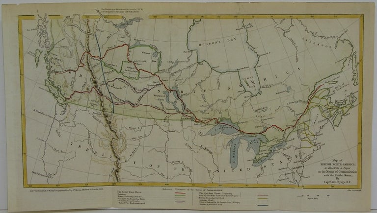
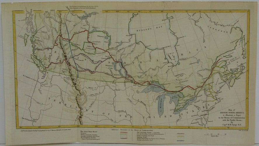
Map of British North America to Illustrate a Paper on the Means of Communication with the Pacific Ocean.
London: Journal of the Royal Geographic Society, 1852. Size : 175x345 (mm), 6.875x13.625 (Inches), Coloring: Hand Colored, Category: Maps Canada; Maps Railroad. Very Good. Item #M5965
Size : 175x345 (mm), 6.875x13.625 (Inches), Coloring: Hand Colored, Category: Maps Canada; Maps Railroad.
Price: $575.00
See all items in
Maps
See all items by M H. Synge, John Arrowsmith