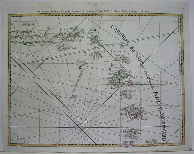
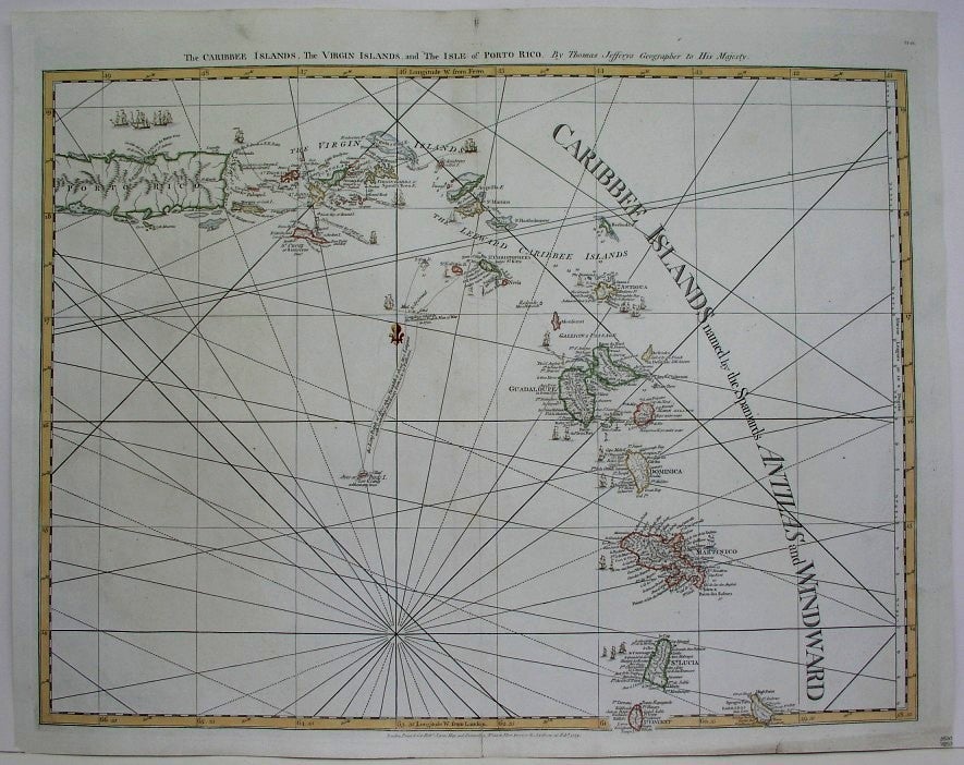
The Caribbee Islands, The Virgin Islands, and the Isle of Porto Rico
London: c. 1775. Notes: An attractive map of Porto Rico, the Virgin Islands and Leeward Islands., Size : 505x645 (mm), 19.875x25.375 (Inches), Coloring: Hand Colored in Outline, Category: ; Maps West Indies Whole; Maps Sea Chart. Excellent. Item #M5100
Notes: An attractive map of Porto Rico, the Virgin Islands and Leeward Islands., Size : 505x645 (mm), 19.875x25.375 (Inches), Coloring: Hand Colored in Outline, Category: ; Maps West Indies Whole; Maps Sea Chart.
Price: $3,000.00
See all items by Thomas Jefferys