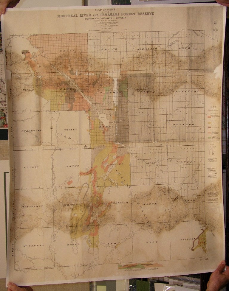
Map of Part of the Montreal River and Temagami Forest Reserve
Toronto: 1909. Size : 910x860 (mm), 35.75x33.875 (Inches), Coloring: Printed in Color, Category: Maps Wall Maps; Maps Geological; Maps Canada Ontario Central;. Good Condition, repairs professionally done to both left and right margins and upper middle portion of the map, with some browning and staining upper and lower map. Laid on acid free canvas for long term preservation. Item #M4926
Size : 910x860 (mm), 35.75x33.875 (Inches), Coloring: Printed in Color, Category: Maps Wall Maps; Maps Canada Ontario Central Nipissing; Maps Geological.
Price: $750.00
See all items in
Maps
See all items by Willet G. Miller