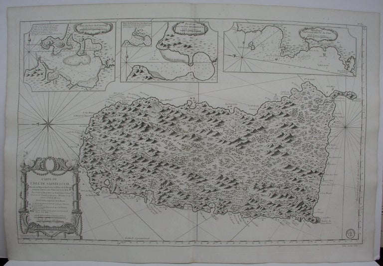
Carte de L'Isle de Sainte Lucie
Paris: Ministre de la Marine, 1763. Notes: Excellent large scale map of St. Christopher, by the prominent 18th century French cartographer Bellin. Title is within a large decorative cartouche located on the lower left. With three large inset maps of Port du Carenage, Plan du Cul de Sac des Roseaux, and Mouillages du Grand Islet et du Choc along the top., Size : 585x900 (mm), 23x35.375 (Inches), Coloring: Black & White, Category: Maps West Indies Other Islands;. Very Good. Item #M4835
Notes: Excellent large scale map of St. Christopher, by the prominent 18th century French cartographer Bellin. Title is within a large decorative cartouche located on the lower left. With three large inset maps of Port du Carenage, Plan du Cul de Sac des Roseaux, and Mouillages du Grand Islet et du Choc along the top., Size : 585x900 (mm), 23x35.375 (Inches), Coloring: Black & White, Category: Maps West Indies St. Lucia.
Price: $1,750.00
