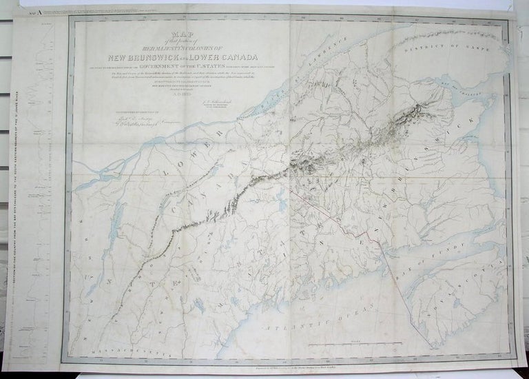
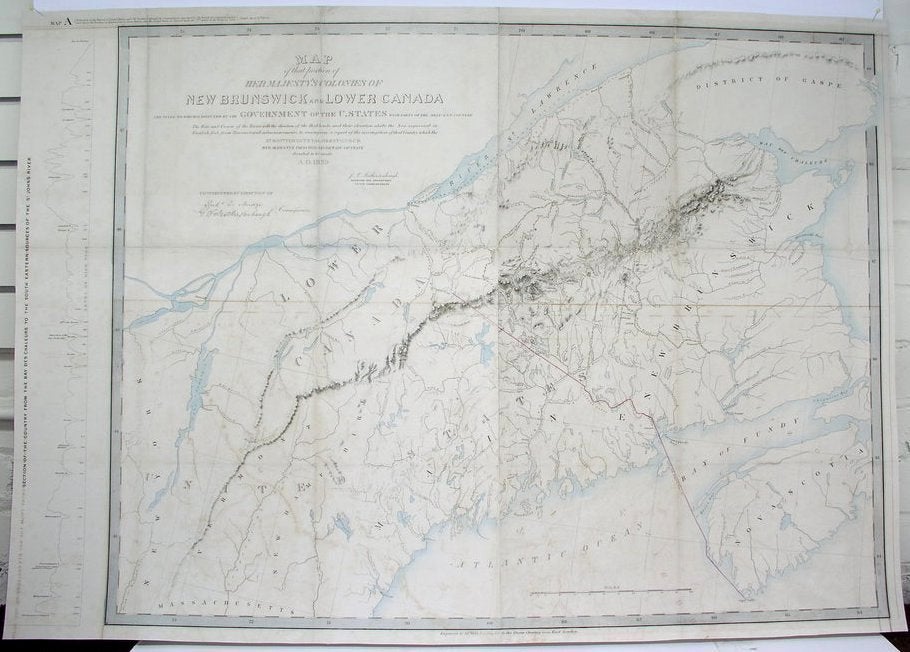
Map of the portion of Her Majesty's Colonies of New Brunswick and Lower Canada...
London: 1840. Notes: Published as part of an influential report report made by the commissioners appointed by the British Government to explore and survey the territory in dispute between Great Britain and the United States of America under the second article of the Treaty of 1783., Size : 730x1040 (mm), 28.75x40.875 (Inches), Coloring: Original Outline Coloring, Category: ; Maps Canada East; Maps United States New England. Very Good, laid on acid free canvas for long-term preservation. Some minor browning through out the map. Item #M4401
Notes: Published as part of an influential report report made by the commissioners appointed by the British Government to explore and survey the territory in dispute between Great Britain and the United States of America under the second article of the Treaty of 1783., Size : 730x1040 (mm), 28.75x40.875 (Inches), Coloring: Original Outline Coloring, Category: ; Maps Canada East; Maps United States New England.
Price: $1,250.00