
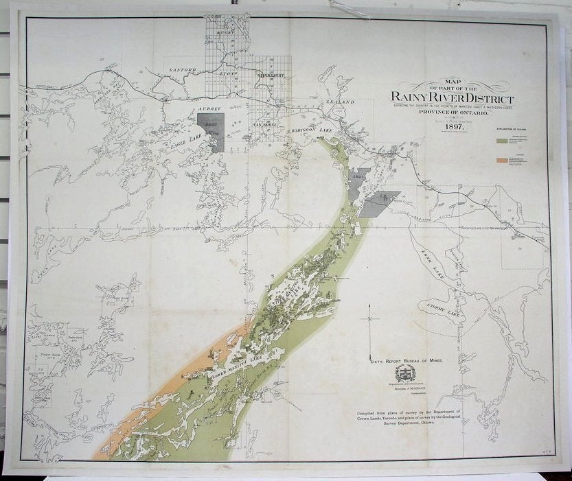
Map of the Part of the Rainy River District Exhibiting the country in the vicinity of Manitou Eagle & Wabigoon Lakes.
Toronto: The Clark Co Limited Litho, 1897. Notes: Northwest of Ontario, Size : 810x965 (mm), 31.875x38 (Inches), Coloring: Printed in Color, Category: Maps Canada Ontario North; Maps Geological. Very Good, laid on acid free canvas for long-term preservation. Some minor browning along the bottom portion of the map. Item #M4399
Notes: Northwest of Ontario, Size : 810x965 (mm), 31.875x38 (Inches), Coloring: Printed in Color, Category: Maps Canada Ontario North; Maps Geological.
Price: $750.00
See all items in
Maps
See all items by Geological Survey Department Department of Crown Lands