
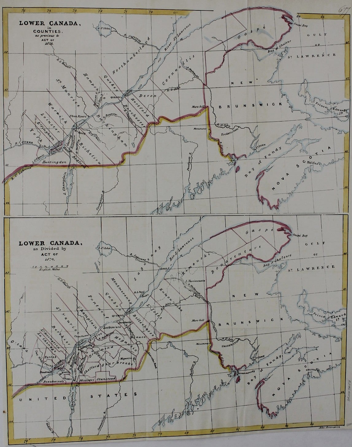
Lower Canada in Counties as previous to Act of 1829; Lower Canada as divided by Act of 1829.
London: 1829. Notes: Important map of lower and eastern Canada by the renowned 19th century English cartographer John Arrowsmith as part of a report on the condition of the colonies to the House of Commons., Size : 507x410 (mm), 20x16.125 (Inches), Coloring: Original Hand Coloring, Category: ; Maps Canada. Very Good. Item #M3759
Notes: Important map of lower and eastern Canada by the renowned 19th century English cartographer John Arrowsmith as part of a report on the condition of the colonies to the House of Commons., Size : 507x410 (mm), 20x16.125 (Inches), Coloring: Original Hand Coloring, Category: ; Maps Canada.
Price: $375.00
See all items in
Maps
See all items by John Arrowsmith