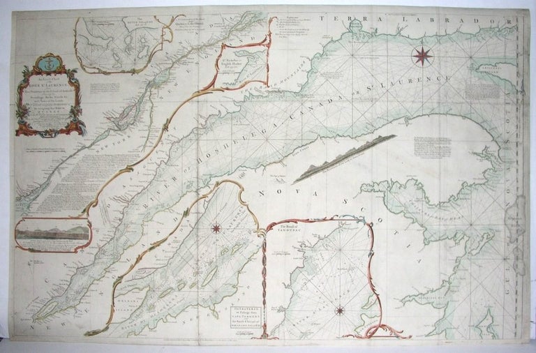
An Exact Chart of the River St Laurence, from Fort Frontenac to the Island of Anticosti shewing the Soundings, Rocks, Shoals &c with Views of the Lands and all necessary Instructons for navigating that River to Quebec
London: Sawyer, Robert, 1775. Notes: Fifth State, Size : 610x955 (mm), 24x37.625 (Inches), Coloring: Hand Colored, Reference: Kershaw, Early Printed Maps of Canada II, 669, Category: Maps Canada East Quebec St. Lawrence River. Very Good; laid down on acid free canvas for long term preservation. Item #M2863
Notes: Fifth State, Size : 610x955 (mm), 24x37.625 (Inches), Coloring: Hand Colored, Reference: Kershaw, Early Printed Maps of Canada II, 669, Category: Maps Canada East Quebec St. Lawrence River.
Price: $750.00
See all items by Thomas Jefferys
