
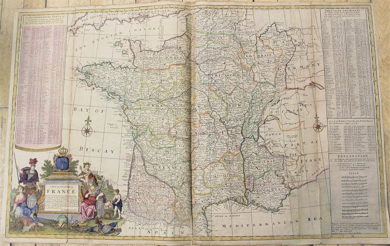
A New and Exact Map of France Dividid into all its Provinces and Acquisions.
London: J. & T. Bowles, c.1730. Notes: Large scale and detailed map of France., Size : 618x977 (mm), 24.33x38.46 (Inches), Coloring: Hand Colored, Category: Maps Europe France;. Good, backed on original linen, with some expert restoration. Item #M10799
Notes: Large scale and detailed map of France., Size : 618x977 (mm), 24.33x38.46 (Inches), Coloring: Hand Colored, Category: Maps Europe France;.
Price: $750.00
See all items by Hermann Moll