
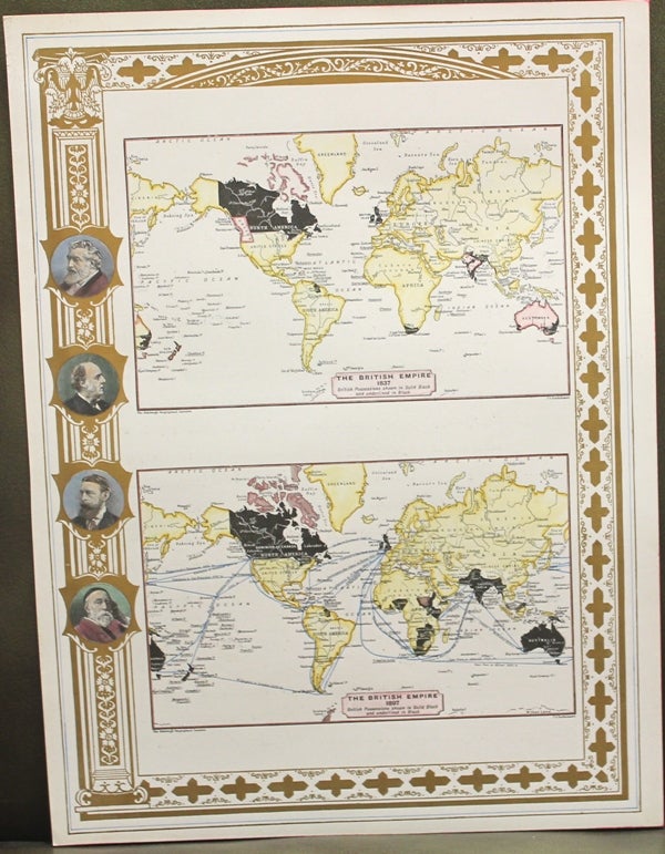
The British Empire 1837-1897
London: c.1897. Notes: World Map showing the British Empire between 1837-1897. The British Possessions shown in solid black and underlined in black., Size : 380x276 (mm), 14.96x10.87 (Inches), Coloring: Printed in Color with Some Hand Coloring, Category: Maps World;. Very Good. Item #M10617
Notes: World Map showing the British Empire between 1837-1897. The British Possessions shown in solid black and underlined in black., Size : 380x276 (mm), 14.96x10.87 (Inches), Coloring: Printed in Color with Some Hand Coloring, Category: Maps World;.
Price: $375.00
See all items in
Maps
See all items by Geographical Institute, J G. Bartholomew