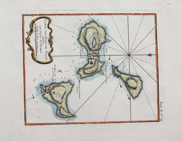
Carte Des Isles Du Salut Autresois Les Isles Au Dlable.
Paris: 1762-1764. Notes: Map of the Salvation Islands (French Guyana)., Size : 230x185 (mm), 9.06x7.28 (Inches), Coloring: Hand Colored, Category: Maps South America Countries;. Very Good. Item #M10514
Price: $225.00
See all items by J. N. Bellin