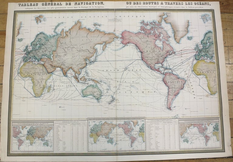
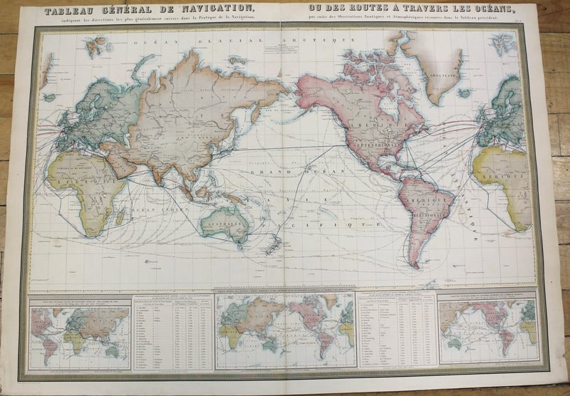
Tableau General De Navigation, ou Des Routes A Travers Les Oceans.
Paris: 1860. Notes: An attractive mid-19th century map of the World with commercial shipping lines and explorer's paths., Size : 506x725 (mm), 19.92x28.54 (Inches), Coloring: Hand Colored, Category: Maps World;. Very Good. Item #M10137
Notes: An attractive mid-19th century map of the World with commercial shipping lines and explorer's paths., Size : 506x725 (mm), 19.92x28.54 (Inches), Coloring: Hand Colored, Category: Maps World;.
Price: $375.00
See all items in
Maps
See all items by F. A. Garnier