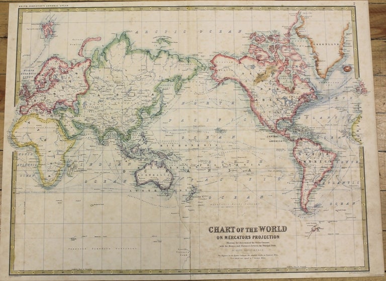
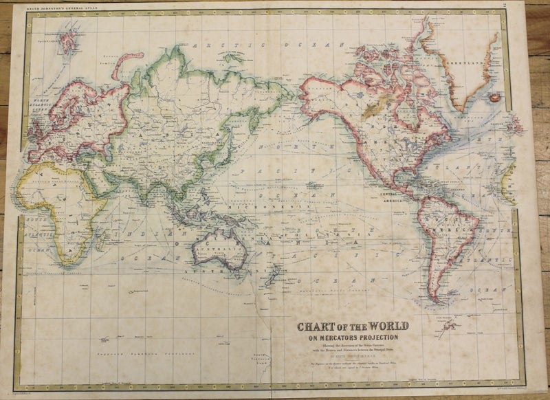
Chart of the World on Mercators Projection
Edinburgh: c.1860. Notes: An attractive mid-19th century map of the World with commercial shipping lines and explorer's paths., Size : 440x572 (mm), 17.32x22.52 (Inches), Coloring: Printed in Color with Some Hand Coloring, Category: Maps World;. Very Good, age tonned. Item #M10136
Notes: An attractive mid-19th century map of the World with commercial shipping lines and explorer's paths., Size : 440x572 (mm), 17.32x22.52 (Inches), Coloring: Printed in Color with Some Hand Coloring, Category: Maps World;.
Price: $275.00
See all items in
Maps
See all items by Keith Johnston