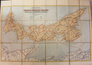
Map of Prince Edward Island Indicating Motor Roads and Recreational Resources
Canada: Department of the Interior, c. 1925. Notes: A scarce (preliminary edition) folding map of Prince Edward Island from the early 20th century. The map comes from the private library of Field Marshall Earl Haig and is in a black pebbled cloth case with his name printed on the top.....