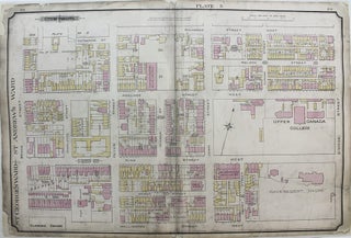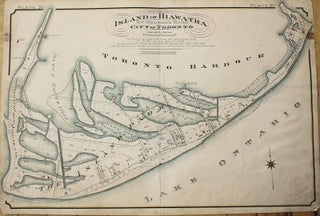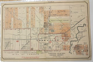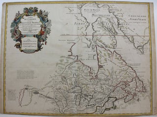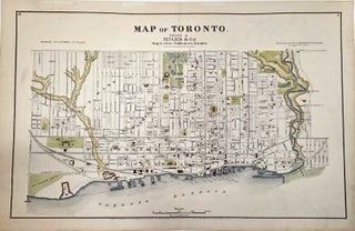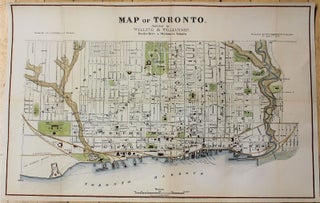
Atlas of Toronto Plate 52 [Eglinton Ave., Bathurst St. & St. Clair Ave.]
Toronto. c.1910. Notes: Map of Toronto at the intersection of Eglinton Ave. and Bathurst St. with Main St. to the North, Spadina Rd. to the East, Royce Ave. to the South and Jane St. to the West. English railway engineer, went to Canada in 1868, where he did not pursue.....
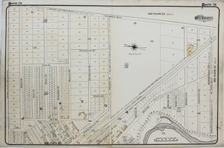

![Item #M8376 City of Toronto Plate 34 [Yonge St., Park Dr. & Glen Rd.]. Charles Edward Goad](https://alexandremaps.cdn.bibliopolis.com/pictures/M8376.jpg?width=320&height=427&fit=bounds&auto=webp&v=1646686245)
![Item #M8377 City of Toronto Plate 35 [Dufferin St., St. Clair Ave. & Ossington Ave.]. Charles...](https://alexandremaps.cdn.bibliopolis.com/pictures/M8377.jpg?width=320&height=427&fit=bounds&auto=webp&v=1646686245)
![Item #M8379 City of Toronto Plate 38 [Yonge St., Davisville Ave. & Glebe Rd.]. Charles Edward...](https://alexandremaps.cdn.bibliopolis.com/pictures/M8379.jpg?width=320&height=427&fit=bounds&auto=webp&v=1646686245)
![Item #M8382 City of Toronto Plate 49 [North Toronto, Eglington Ave. & Yonge St.]. Charles...](https://alexandremaps.cdn.bibliopolis.com/pictures/M8382.jpg?width=320&height=427&fit=bounds&auto=webp&v=1646686246)