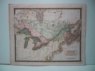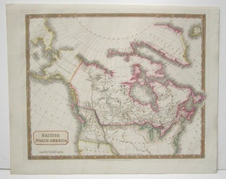
British North America.
London: Longman, Rees, Orme, Brown & Green, 1829. Notes: Handsome map of Canada and Arctic Regions of North America in strong period hand coloring. Arctic exploration’s interest was high at the time in the British isles. The map shows rivers, settlements, territories of First Nations peoples. British Columbia is divided.....