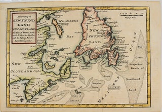
A New and Exact Map of the Dominions of the King of Great Britain on y.e Continent of North America. Containing Newfoundland, New Scotland, New England, New York, New Jersey, Pensilvania, Maryland, Virginia, and Carolina.
London: 1715-1732. Notes: According to McCorkle this is the third state of the map. In Kershaw this map is state E. There are four insets, a large map of coastal South Carolina, and a plan of Charleston, below that is an inset of the eastern portion of North America. At.....