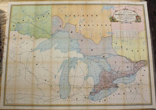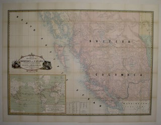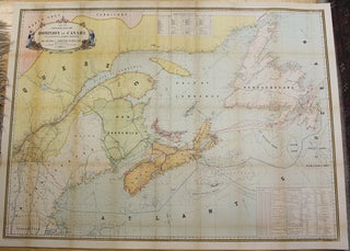
Map No. 1 (Eastern-Section) Dominion of Canada Telegraph & Signal Service.
Montreal: Dominion of Canada Department of Public Works, c. 1883. Notes: A superb large scale wall map of Newfoundland, New Brunswick, Nova Scotia and Prince Edward Island depicting physical and geographical fissures of the Provinces. All major cities, mountain ranges, waterways and railways are depicted. Of particular importance in this.....