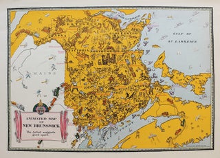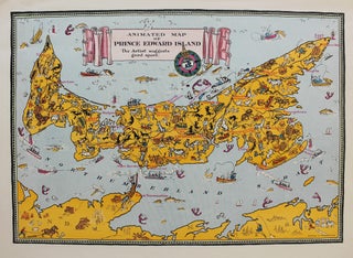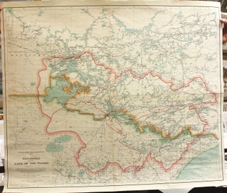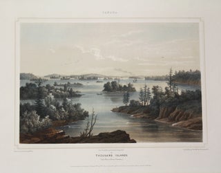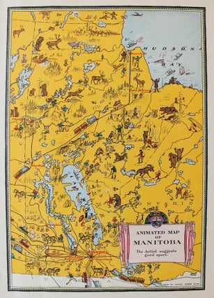
Animated Map of Manitoba
Ottawa: Department of the Interior, c. 1920. Notes: Elias, Arthur Edward. Animated Map of Manitoba [map]. Scale not given. In: Oliver Master. Dominion of Canada Animated Atlas. Ottawa: Canada. Dept. of the Interior, Natural Resources Intelligence Service, 1926. , Size : 355x250 (mm), 13.98x9.84 (Inches), Coloring: Printed in Color with.....