The Bahama Banks and Gulf of Florida.
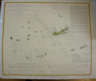
Washington, D.C. U.S. Navy Hydrographic Office/ U.S. Coast Survey, c.1873. Notes: Fine and detailed map of Florida published in the third quarter of 19th century by Hydrographic office of U.S. Navy. The map clearly depicts various Keys including a large inset map of Key-West Harbor. , Size : 792x806 (mm).....